Estimated reading time: 5 minutes
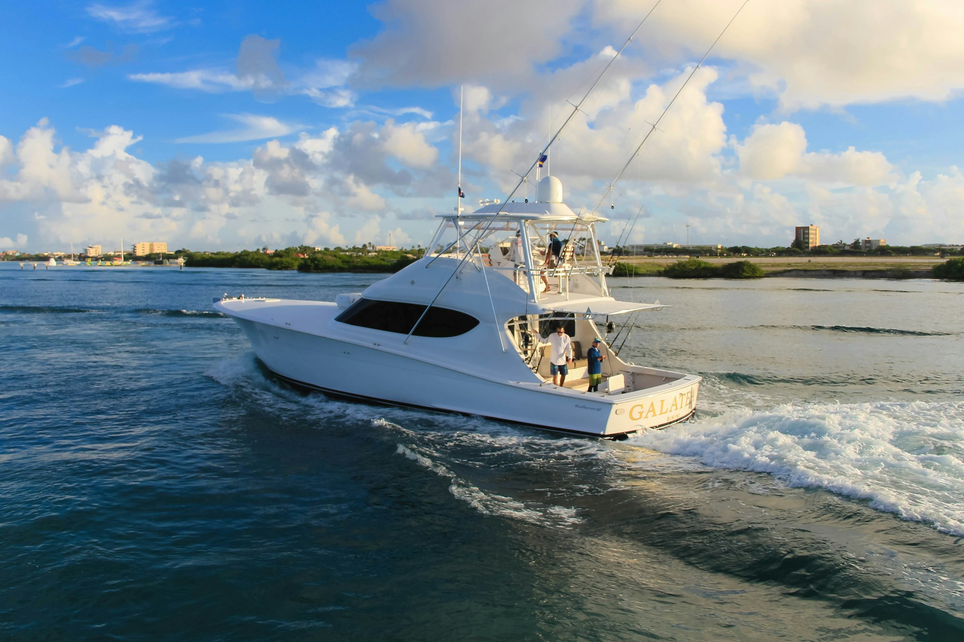
Navigating the open waters has never been easier, thanks to the rise of innovative boating navigation apps. Whether you’re exploring calm bays, venturing offshore, or cruising along the coast, these digital tools have become essential companions for modern mariners. Designed with features like real-time weather updates, tide charts, GPS plotting, and hazard alerts, they ensure that your boating adventures are safer, smoother, and more enjoyable. For beach lovers and boating enthusiasts alike, these apps open a world of possibilities, helping you chart the perfect course for your next seaside escape.
Navionics® Boating

Navionics Boating from Garmin is the ultimate companion for all your water-based adventures, offering detailed, up-to-date charts that can be accessed offline. Whether you’re cruising, fishing, sailing, or diving, this app equips you with essential tools to enhance your experience. With internationally renowned charts, overlays like relief shading and sonar imagery, and advanced planning features such as Auto Guidance+™ technology, navigating the water has never been easier.
Stay informed with real-time weather, tides, and daily chart updates while enjoying the convenience of marking your favorite spots and tracking your journeys. Join an active community of boaters to share insights, tips, and locations, making every outing on the water seamless and unforgettable.
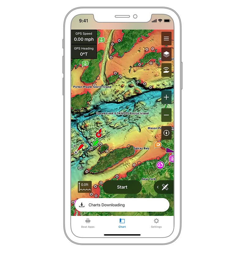
Wavve Boating

The Wavve Boating App revolutionizes marine navigation by integrating nautical charts, tide data, weather forecasts, and boating tools into a single, user-friendly platform. Dubbed the “Google Maps for Boating,” this app offers seamless navigation with customizable marine charts tailored to your boat’s draft. It ensures clutter-free and accurate routing for lakes, rivers, seas, or oceans.
Boaters can access real-time marine weather, tide information, water depths, and popular destinations like marinas, sandbars, and fishing spots. The app also fosters a vibrant community, allowing users to share insights, routes, and favorite locations or keep them private. With global chart coverage and a free trial, Wavve Boating eliminates the need for expensive chart plotters. This makes it a top-rated choice for boaters in the U.S., Canada, Australia, and the U.K.
Garmin ActiveCaptain
Elevate your marine navigation with the ActiveCaptain app, the perfect tool for Garmin chart plotter users. Easily transfer maps, routes, and waypoints while exploring premium Garmin Navionics+™ cartography for unparalleled coverage and clarity. Plan trips, access real-time community reviews, and sync data across devices effortlessly. The smart notifications keep you connected, and the OnDeck™ hub lets you monitor and control your boat remotely. Designed for all your boating needs—whether cruising, diving, or fishing—ActiveCaptain ensures you stay informed, safe, and ready for adventure.
Argo

Set sail with Argo, the ultimate boating sidekick that makes navigation smarter, safer, and more fun. Whether you’re charting new waters, meeting up with friends, or chasing the perfect sunset, Argo helps you do it all with ease. Access detailed charts, plan, and log trips, get real-time hazard updates, and connect with fellow boaters—all for free. Upgrade to Argo Premium for smart auto-routing, offline maps, and advanced weather forecasts. Say goodbye to clunky marine software and hello to effortless exploration. Download Argo today and make every trip your best one yet!
iNavX
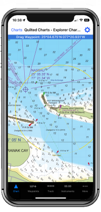
For serious mariners, iNavX is the gold standard in marine navigation. With global chart coverage from leading providers like iNavX Professional+, Blue Latitude, CHS, and Explorer, this app transforms your device into a fully functional chart plotter. Enjoy real-time GPS tracking, AIS overlays, NMEA instrument integration, and advanced route planning. Whether you’re sailing offshore, navigating inland waterways, or tracking fishing hotspots, iNavX delivers precision, reliability, and seamless connectivity—all in the palm of your hand.
With so many great boating navigation apps available, finding the right one comes down to your specific needs. Whether you prefer the powerful charting capabilities of iNavX or the smart routing of Argo, there’s an app for you. ActiveCaptain offers seamless integration, while Wavve provides an intuitive design to enhance every journey. No matter where your adventures take you, having a reliable navigation tool ensures a safer, smoother, and more enjoyable time on the water.